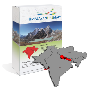
HimalayanTOPO Nepal Routable
GARMIN® Edition:
iOS® / ANDROID® / PC Edition:
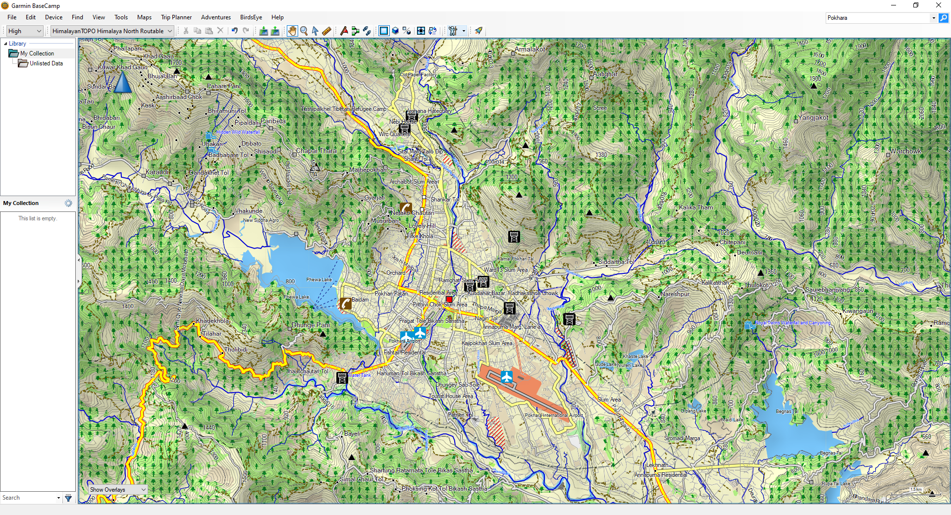
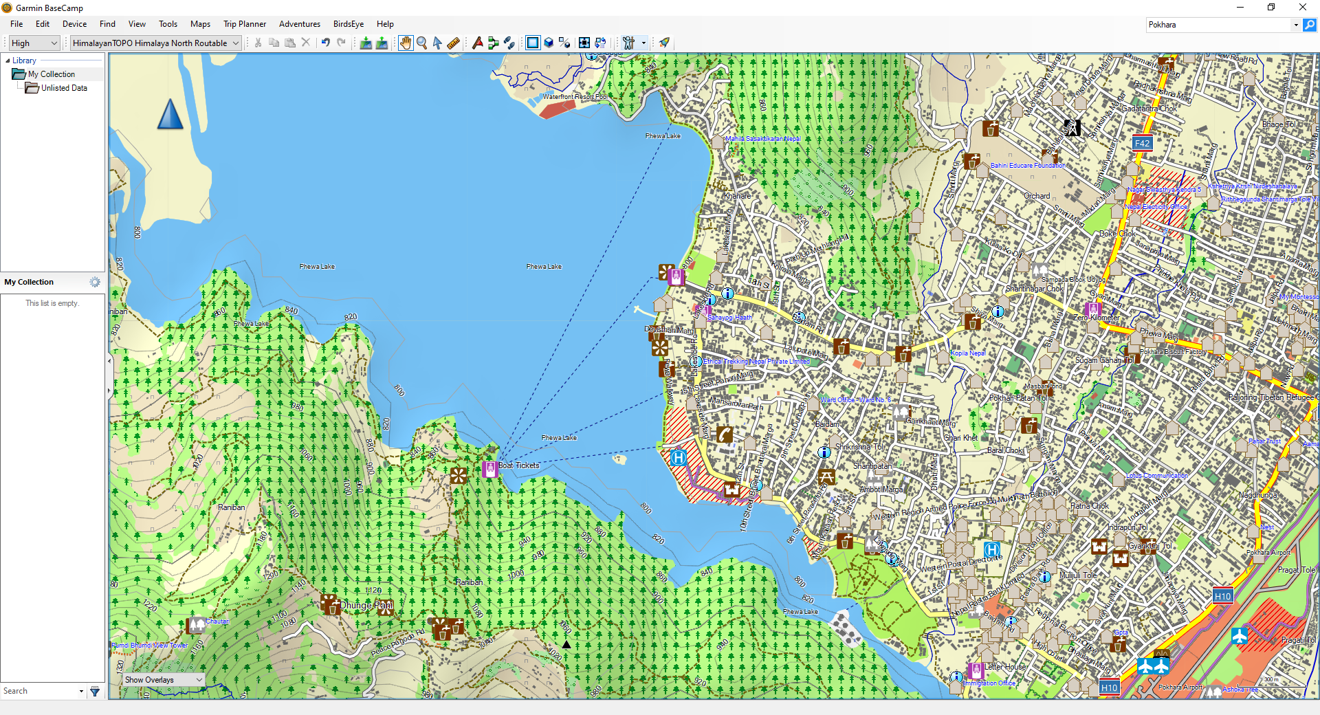
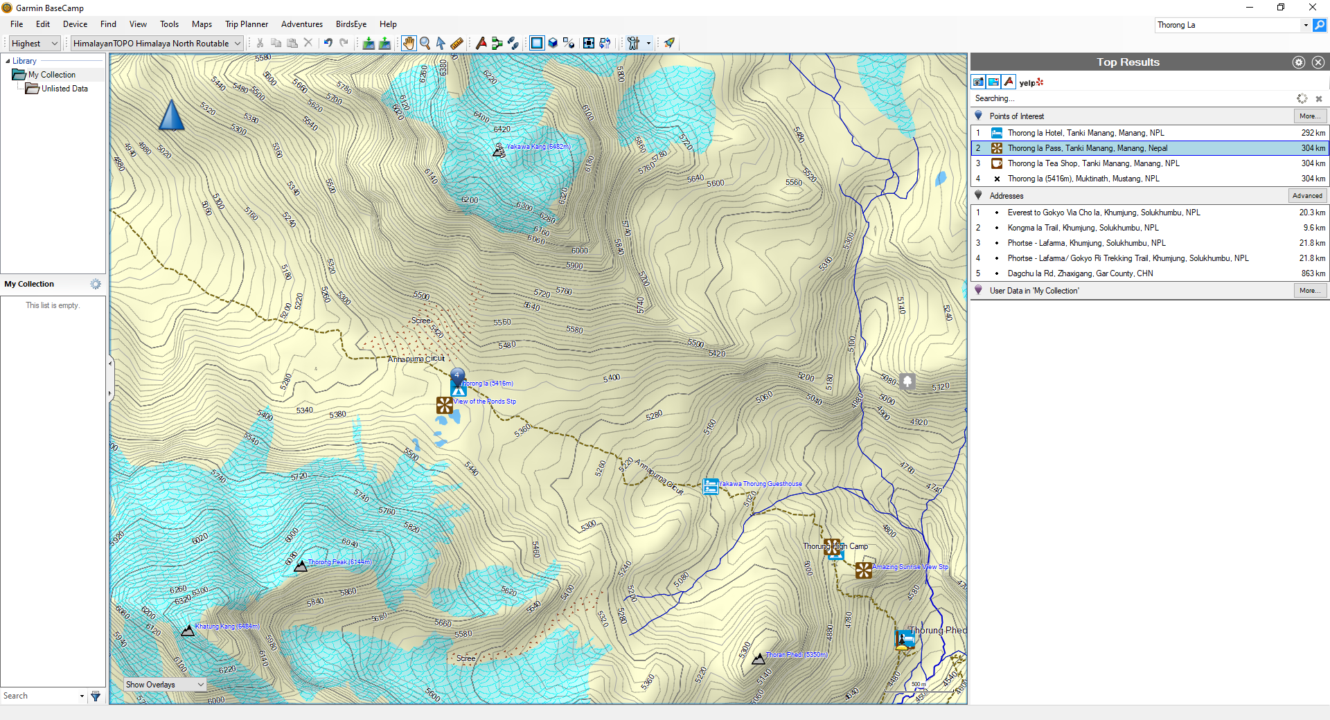
Gallery Garmin® Edition:


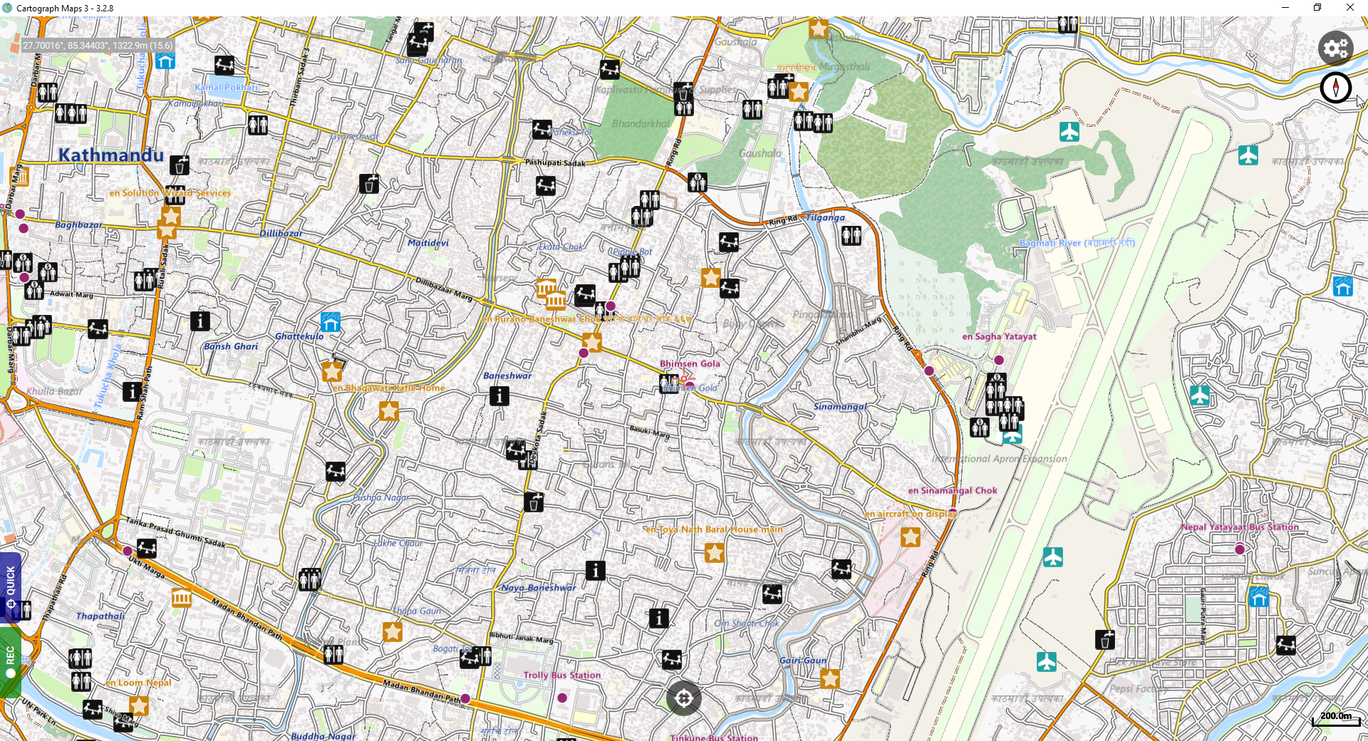
Gallery iOS® / Android® / PC Edition:


Description
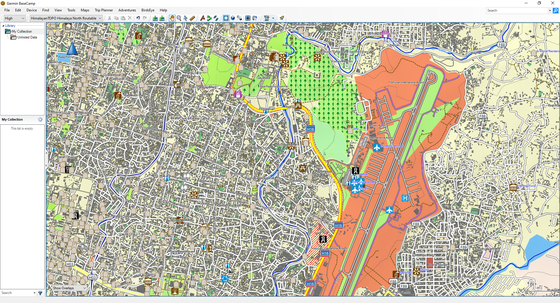
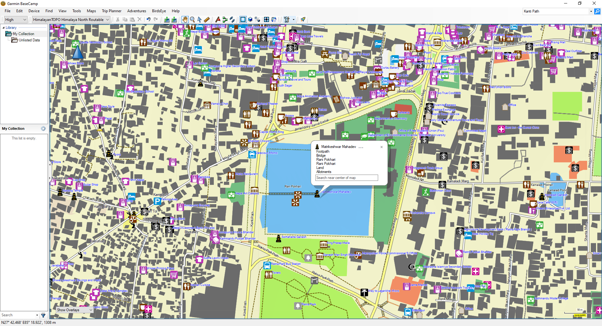
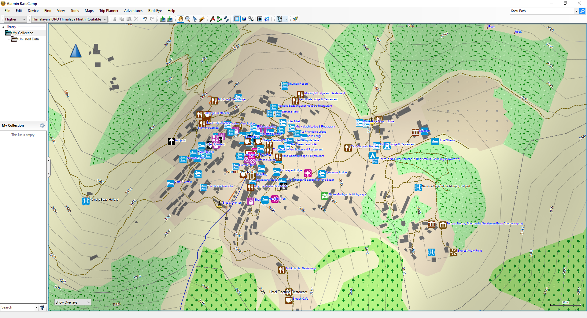
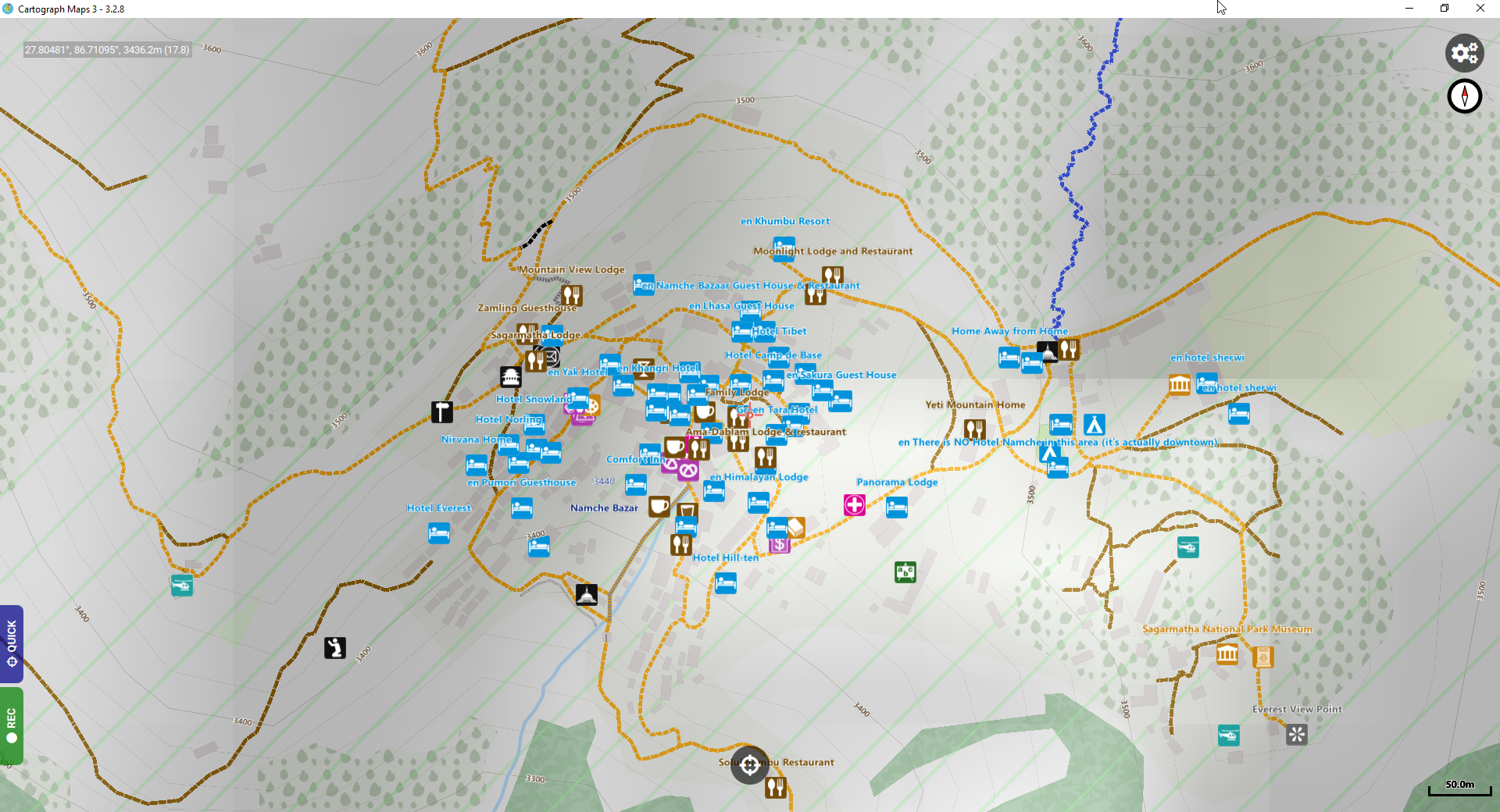
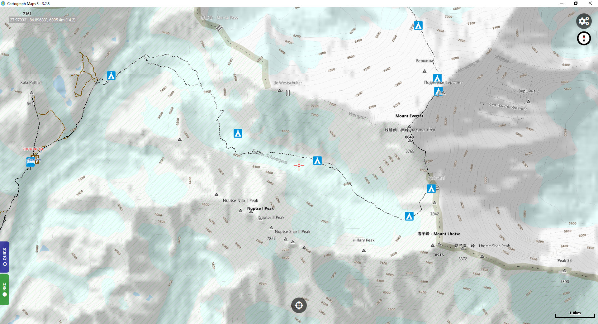
This vector map covers the whole Nepal country. It’s a map with an amazing high level of detail, capable for trekking in remote areas as well as navigating by car or motorbike through the country or any sports activity like mountain biking, hiking or cross motor biking. Besides many topographical details this map includes a fully detailed street layer.
Because the map is fully routable, it also can be used for turn-by-turn vehicle navigation, for example with a Garmin® Nüvi® GPS Devices or your Smartphone (depending which version you purchased). Navigate from south India to Lhasa/Tibet – seamless routing through the whole area has never been so easy before!
Compatibility
Our maps are available in two different Editions – depending which device you would like to use:
Garmin® Edition
The Garmin® Edition is compatible with Garmin® GPS Devices, which can display maps in Garmin® vector format. This includes all “On the Road”-Receivers as well as all “On the Trail”-Mapping-Handhelds. The maps could be used directly with your GPS device and can of course also be viewed with your computer with one of your favourite GPS-Software like Mapsource® or Basecamp® (available from Garmin® free of charge).
iOS® / Android® / PC Edition
The iOS® / Android® / PC Edition is compatible with all software which can display maps in Mapsforge format. Mapsforge is the standard fileformat a wide range of software already support, this includes:
- Cartograph V3 (available for iOS®, Android®, Windows®, MacOS®)
- Locus Map (available for Android®)
- OruxMaps (available for Android®)
- QuoVadis X (available for Windows®)
Please note that the needed software is not included and has to be purchased in the App Stores of your device seperately!
Map Features
- Fully routable on streets, trails and treks! Routing across country borders!
- Searchable Point-Of-Interests database!
- Detailed topographic contour lines (interval 20m)!
- Height profiles for routes and tracks (depends on your software)
- Regionwide detailed street layer!
- Accuracy up to 1:15.000!
Map Coverage

- Nepal
- Some areas of India and Tibet near the Nepali border
Update Guarantee: 1 year all updates without any extra costs!
If you made a one-time purchase, this map includes updates free of charge for one year! You will be up to date for one year with free map updates as soon as we publish new versions of this map (around four times a year)! This will guarantee a map with the latest map data available when you start your trip.
If you subscribed to our subscription plan on a monthly basis, of yourse all map updates are free of charge during the whole period of the term!
Licence
Our maps are not locked. With a valid map licence it is allowed to install the map on as many GPS devices and computers as you like. We offer installation packages for Windows® and MAC OS®.
Datasource
The main source of our maps is the great OpenStreetMap project. This project maps the whole world and was started in 2004. Nowadays thousands of mappers work on this great project. In the past we created our own maps from sources like self recorded tracks and POIs, satelite images or available paper maps. In these days OpenStreetMap was nearly a blank map for the Himalaya region. Nowadays it is the best available map for the Himalaya region – it has an amazing high level of detail, even in the remote areas! We now included all of our own map data into the OpenStreetMap project and use OpenStreetMap as a basis for our own maps.
Furthermore, our maps include some additional data which isn’t available from OpenStreetMap. This includes a highly precise layer with digital contour lines (interval 20m) as well as DEM information for the whole region.
The OSM-Database is covered by ODBL. The map consists of several separate parts. All parts are strictly seperated. One part are the map tiles containing map data from OpenStreetMap, the tiles containing contour lines based on data from Viewfinderpanoramas and HimalayanGPSMaps.
Both parts are strictly separated. The complete map is a “Collective Work” as defined by the CC license. The data of the map tiles are under CC-BY-SA license. The copyright is owned by the OpenStreetMap contributors, CC-BY-SA. The data for the SRTM tiles are in the public domain. The data from Viewfinderpanoramas are subject to the “Terms of use” on this site.
“Wow, what a detail! And it loads very fast on my GPSMap60CSx.“
Fred K., Photographer, Netherlands